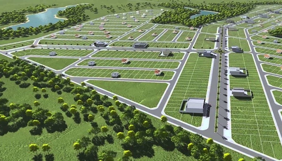
LAND DEVELOPMENT
AJH Surveyors Help Planning Is The Process Of Regulating The Use Of Land In An Effort To Promote More Desirable Social And Environmental Outcomes As Well As A More Efficient Use Of Resources
Land Development consists the following :
- Land use planning is an important growth framework
- Land use planning is an important growth framework
- A well-planned urban area is a well-prepared urban area
- Good land use planning positively impacts the development
- Incorporate the analysis of natural and anthropic risk in territorial planning processes
- Promote mechanisms to prevent the settlement of populations and the development
- Promote territorial planning as a basis for concerted development plans and border development
- Guides the actions of regional and local governments for the efficient fulfillment of their functions in this area of land use planning


READY TO MOVE YOUR BUSINESS FORWARD?
Contact Us NowAbout Us

AJH Surveyors Specialised In Satellite (Radar) Leak Detection, Underground Utility Mapping, Topography, Hydrography, Photogrammetry, Gnss, Gis Survey, Terrestrial Laser Scanning, Lidar, Unmanned Aerial Vehicle (Uav) Mapping And Land Development
Products/Services
Satellite (RADAR) Leak Detection
Underground Utility Detection Survey
Geographical Information System (GIS)
Light Detection And Ranging (LiDAR)
Land Development
Engineering Survey
Topographical Survey
Hydrographic Survey
Terrestrial Laser Scanning
Unmanned Aerial Vehicle Mapping (UAV)
Get In Touch
22-2-2A Jalan Medan PB2A, Medan PB 2,
Pusat Bandar Bangi,
43650 Bandar Baru Bangi,
Selangor Darul Ehsan.
ajhsurveyors77@gmail.com
03 8926 5677
03 8926 8677
